top of page


Tree Mapping

Development Mapping
Virginia Bruce has been working on an interactive Google Map to track developments in CPO1 (Community Participation Organization1). The map shows development status from the initial neighborhood meeting through to approval. More help would be welcome to update it, and we would like to see this project expanded to other areas in Washington County.
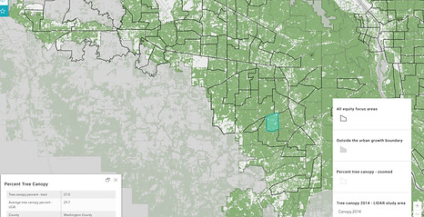

Tree Loss Mapping
With your help, we will be compiling a composite picture of the total number of trees removed in urban unincorporated Washington County to give a visual accounting. Please submit any information and photos you have to our webmaster: treekeeperswc@gmail.com

bottom of page